
Visual twins, 3D models and aerial data capture that give your team real visibility, wherever they are
We combine real-world data capture with a visual platform your team can use every day.
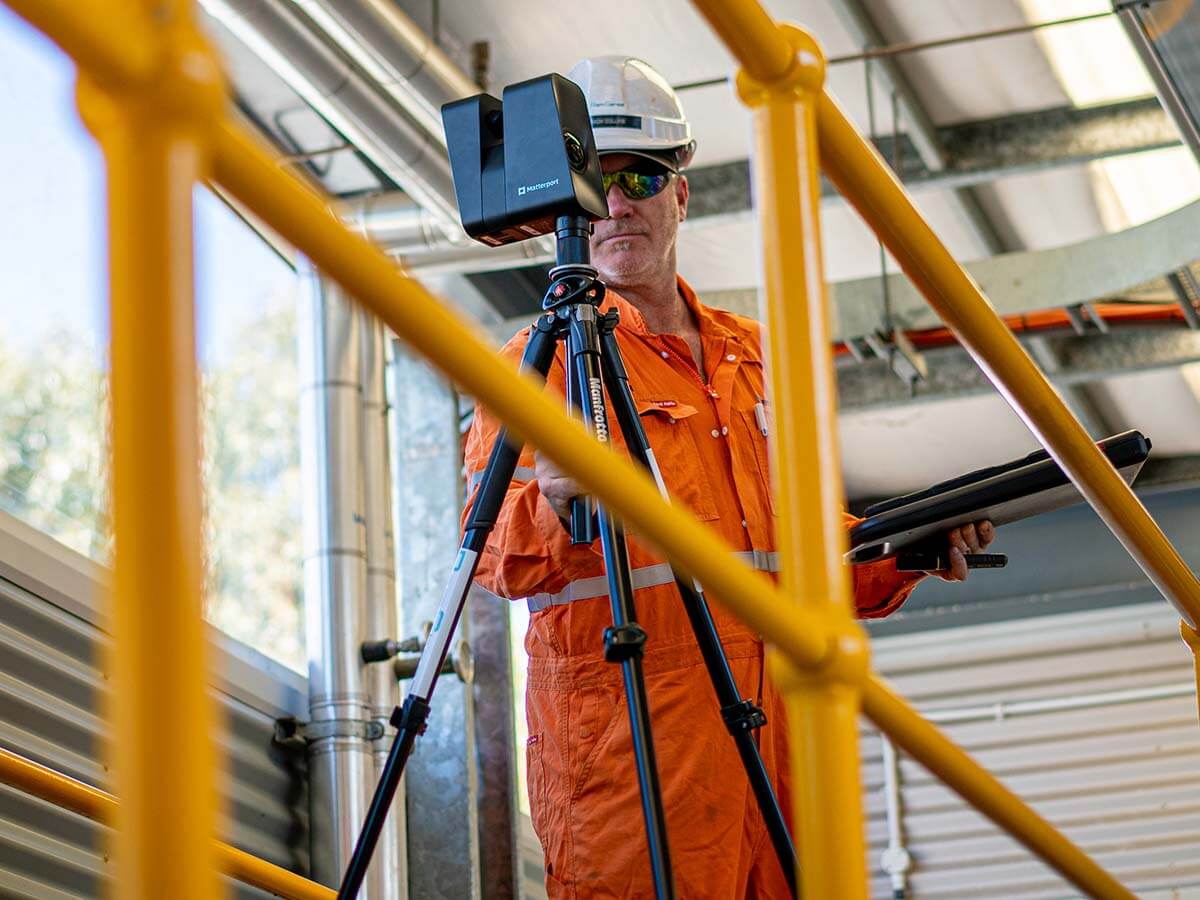
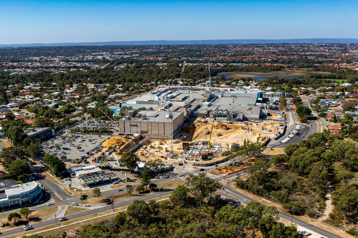
We capture your site using drones and advanced sensing, including high-resolution imagery, point clouds and spatial data.
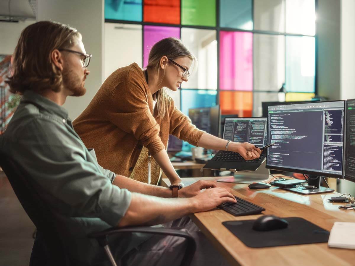
We turn that data into a range of usable outputs, from visual twins to detailed 3D models and mesh environments.
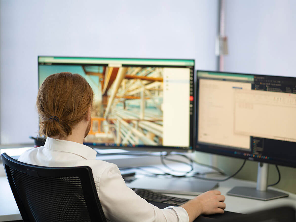
Your team can explore, measure and plan using the level of detail that suits the task.
Reduce the need to send teams into hazardous environments. Inspect confined spaces, heights, and remote assets without stepping on site.
Capture and access site data quickly, so decisions don't wait on travel, access, or delays.
Turn high-resolution visuals into clear insights your team can act on straight away.
virtualplant™ is a high-resolution, true-to-life visual twin that can also incorporate detailed 3D data, allowing your team to inspect, plan, and collaborate from anywhere. It gives you a safer and more flexible way to manage assets while reducing time on site.
Our drone services deliver high-quality data for mapping, thermal and multispectral imaging, water sampling, and structural assessments. So you can monitor, measure, and respond with confidence.

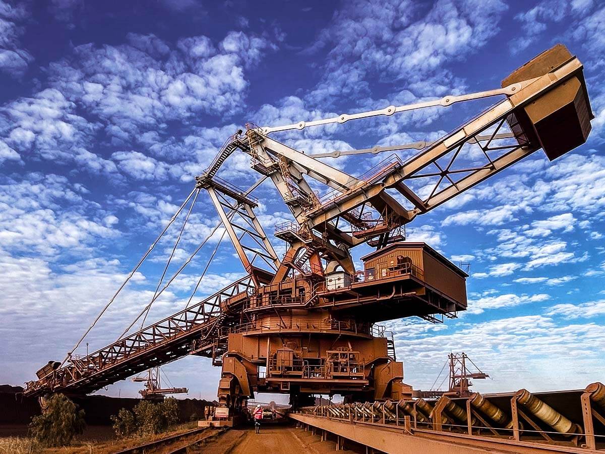

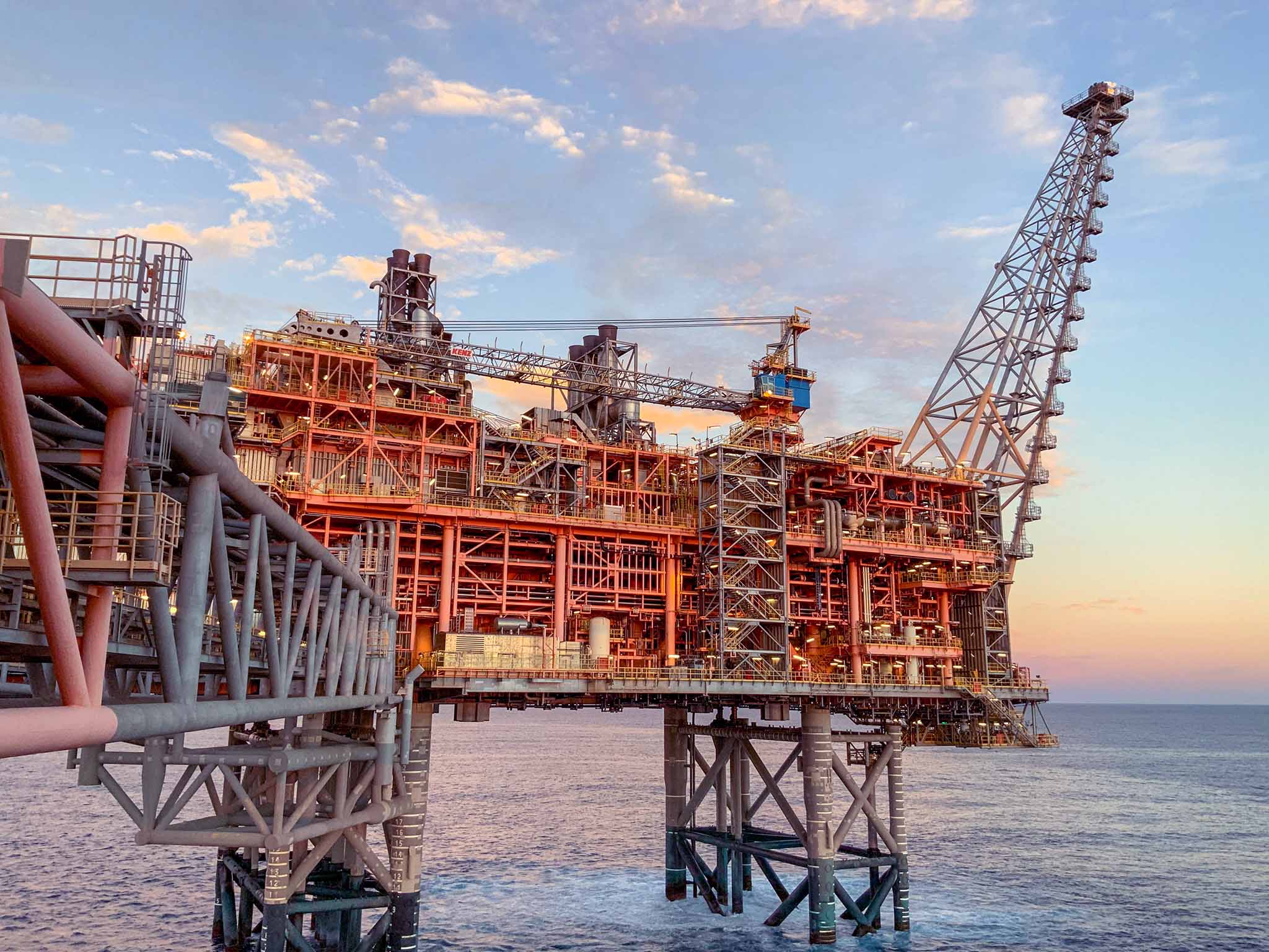
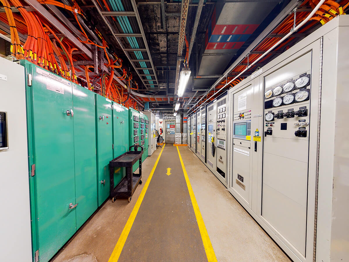
Built for high-risk, high-value environments.
Our team brings hands-on experience in data capture, engineering and asset management across critical industries.
25,000+ operational hours in the field
ASX-listed since 2021
Trusted by teams across mining, energy and infrastructure
Specialists in immersive, real-world digital twin technology
Built to improve safety, reduce downtime and support better decisions


