A powerful platform that lets you see, understand, and manage your assets without stepping on site.
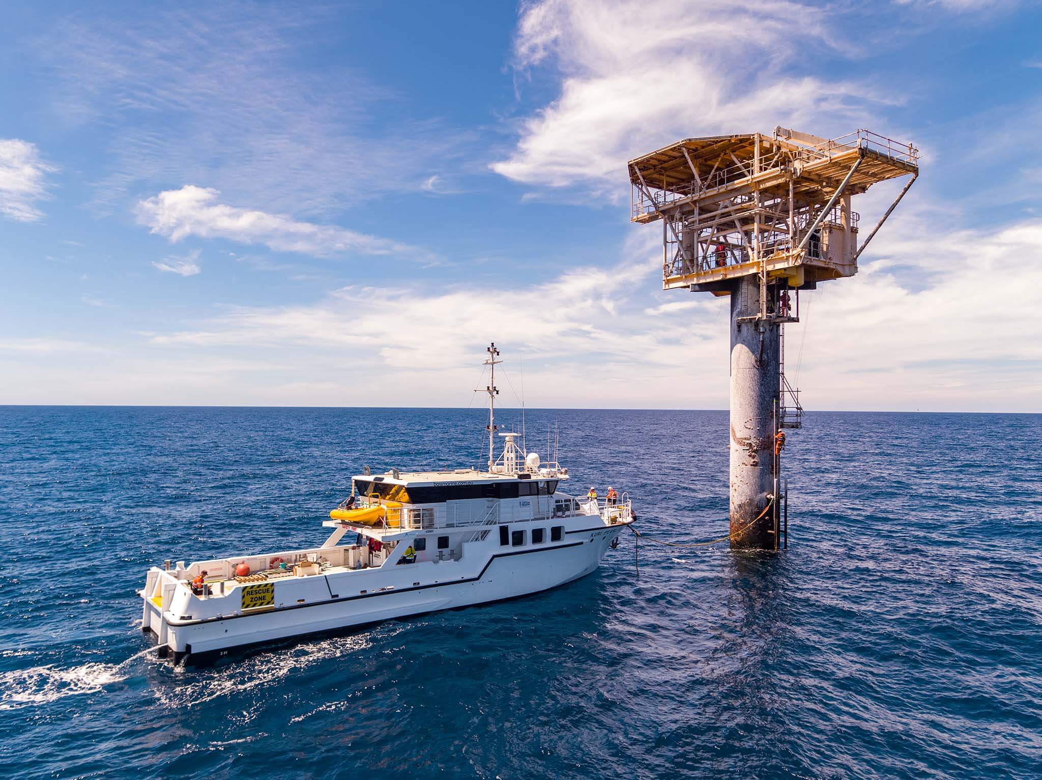
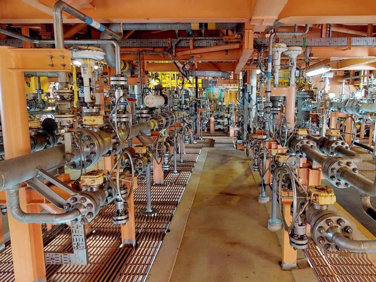
Streamline maintenance, improve safety, and cut downtime across offshore & onshore operations.
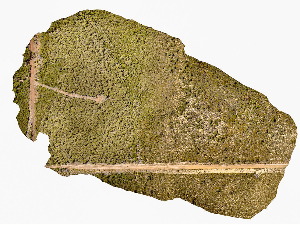
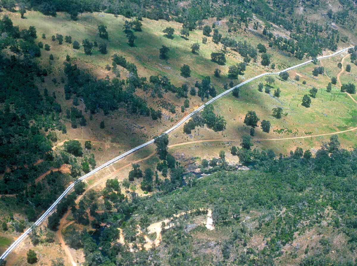
Optimise inspections, plan shutdowns, and boost efficiency across remote and challenging sites.
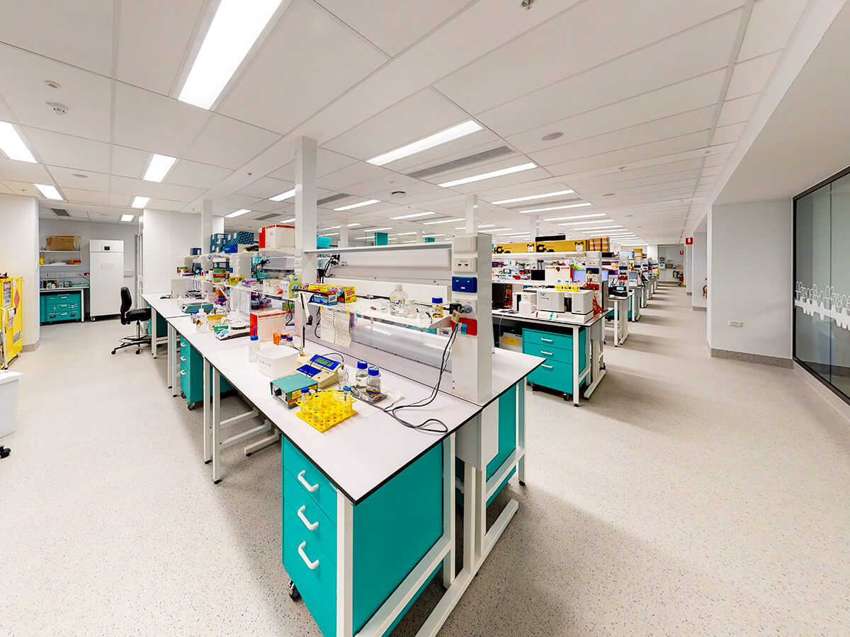
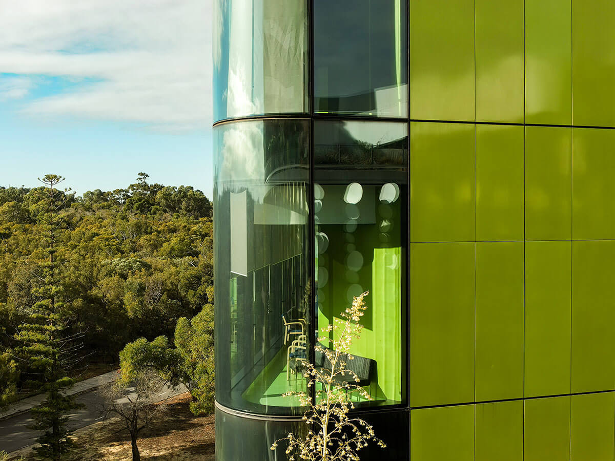
Stay on top of building health, plan works faster, and improve tenant satisfaction.
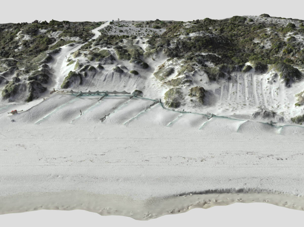
Track progress, spot issues early, and keep projects moving, all from one visual hub.
Your hub for RemSense shareholder news, reports, and ASX announcements.
ASX:Rem
All published annual reports in one place
Official announcements to the Australian Stock Exchange
Corporate Directory and Governance documents
Stay up to date with the latest RemSense news, insights, and client success stories.
Company updates, milestones, and announcements
Real-world examples of how we help clients achieve results
Guides, tips, and insighs
We would love to talk about how we can create solutions to help your business.
Get occasional updates on company news, project milestones and product development.
No spam, just the important stuff
This website uses cookies to ensure you get the best experience on our site. To find out more read our privacy policy.