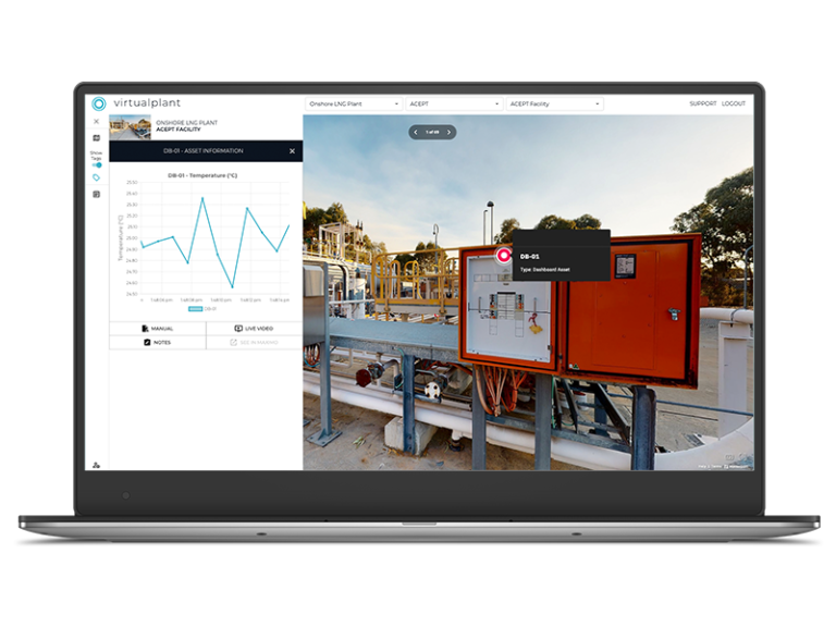
Capture accurate data from hard to access environments, safely and efficiently.
Certified drone and remote data capture services for inspections, mapping environmental monitoring and asset analysis. Use the data as standalone outputs, or integrate it into virtualplant for a more connected view of your operations
We provide aerial data capture for complex, high-risk and hard-to-access environments.
Using certified pilots, advanced sensors and purpose-built workflows, we collect accurate, reliable data that supports inspections, mapping, environmental monitoring and asset analysis.
This data can be delivered as standalone outputs, including imagery, reports and models, or integrated into platforms like virtualplant when a more connected view of your assets is required.
We're CASA certified, BARS registered, and trusted to operate where others can't


We don't just capture data; we help you use it to improve how you operate.
By replacing manual inspections and traditional survey methods with high-quality aerial data, teams can work more safely, move faster and make better decisions
Reduce the need for working at heights, confined space entry and hazardous environments
Capture and access site data quickly, with less disruption and fewer delays
Work with clearer, more accurate data that supports better planning and decision-making


Every project is different.
We can deliver aerial data as standalone outputs, including imagery, reports and analysis, or bring that data into virtualplant to create a connected, visual environment for ongoing asset understanding.
This give you the flexibility to use the data in the way that best suit your workflows
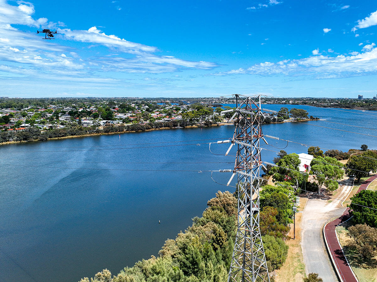
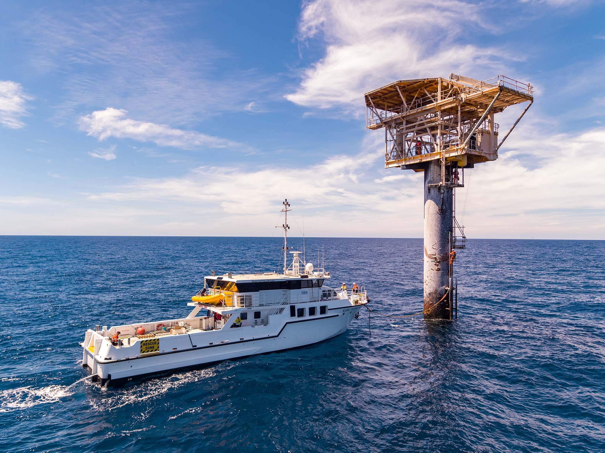
Capture time-critical visual data from active sites safely and efficiently. Our CASA-certified pilots inspect assets without shutdowns, delivering imagery, video or detailed 3D models.
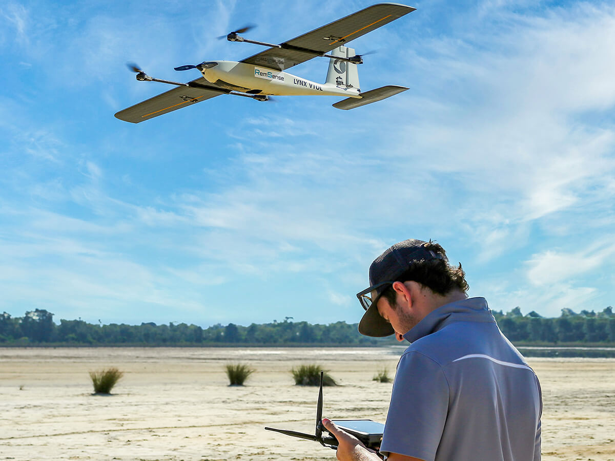
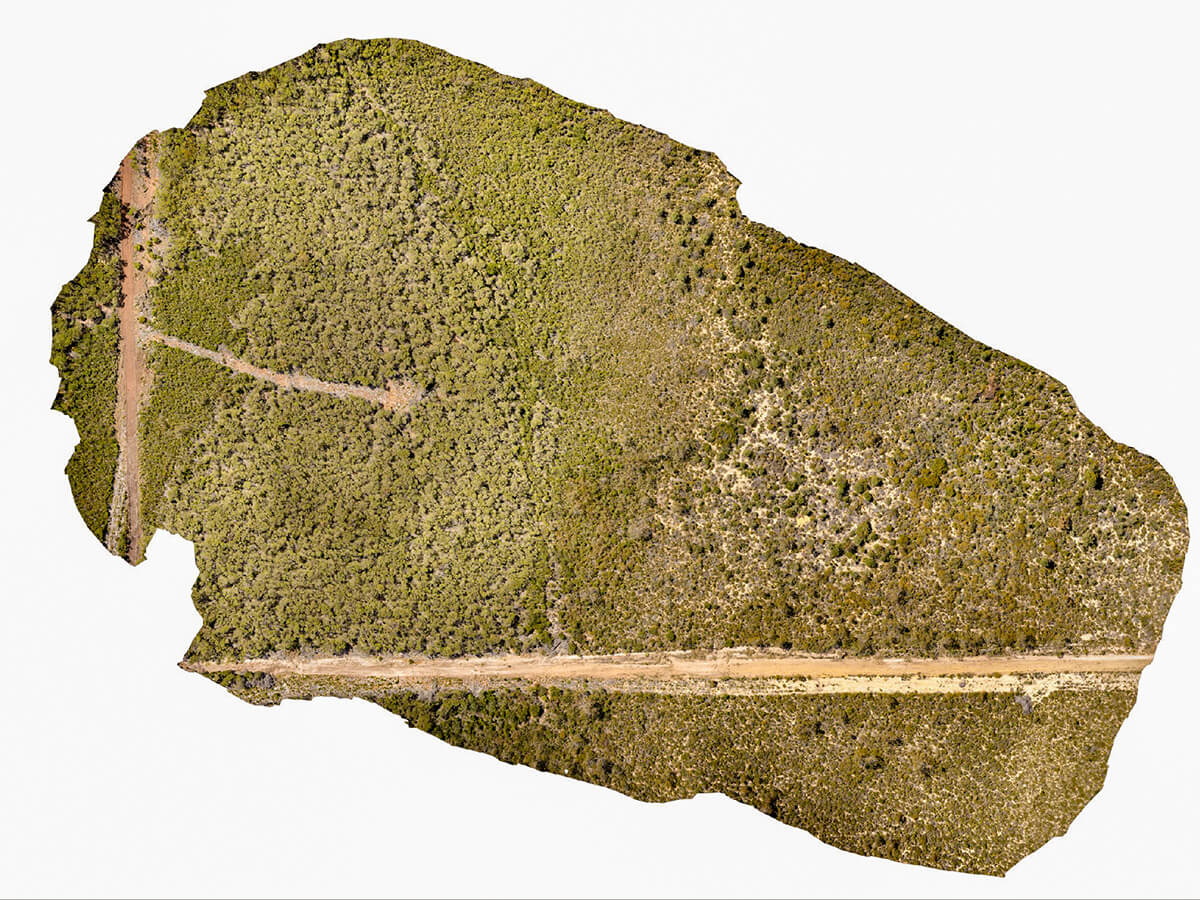
Accurate aerial surveys for medium to large sites, with outputs including ortho-mosaics, terrain models and volume calculations. Designed for civil, mining and infrastructure projects.
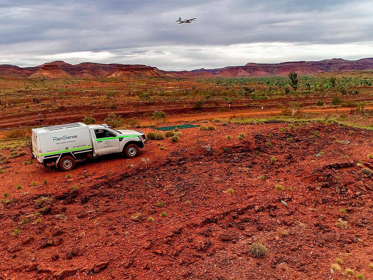
Capture and classify vegetation using high-resolution imagery to support land management, environmental planning and conservation.
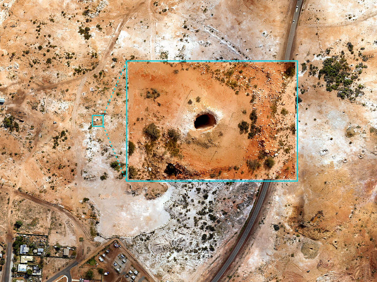
Survey large areas efficiently to detect environmental risks such as mine shafts, invasive species or hazards. Supports compliance, assessment and land management.
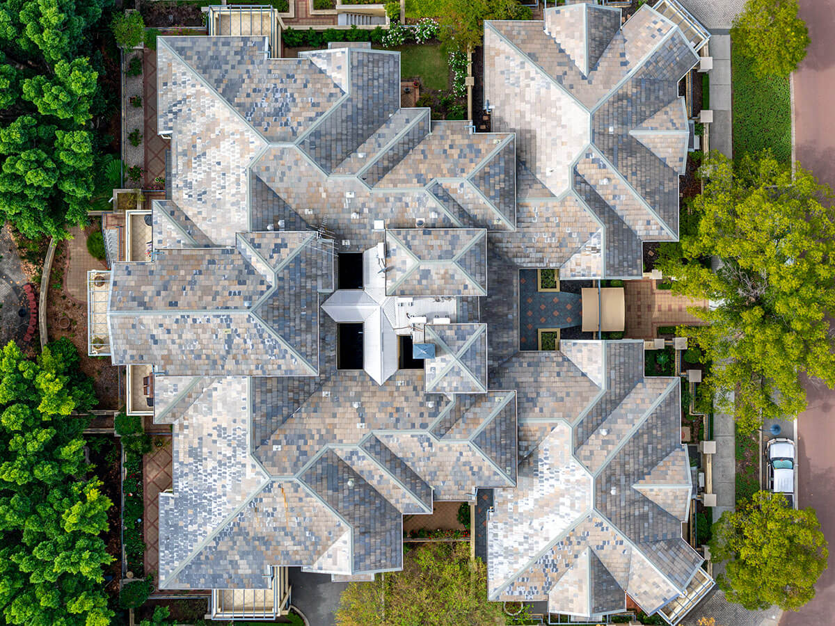
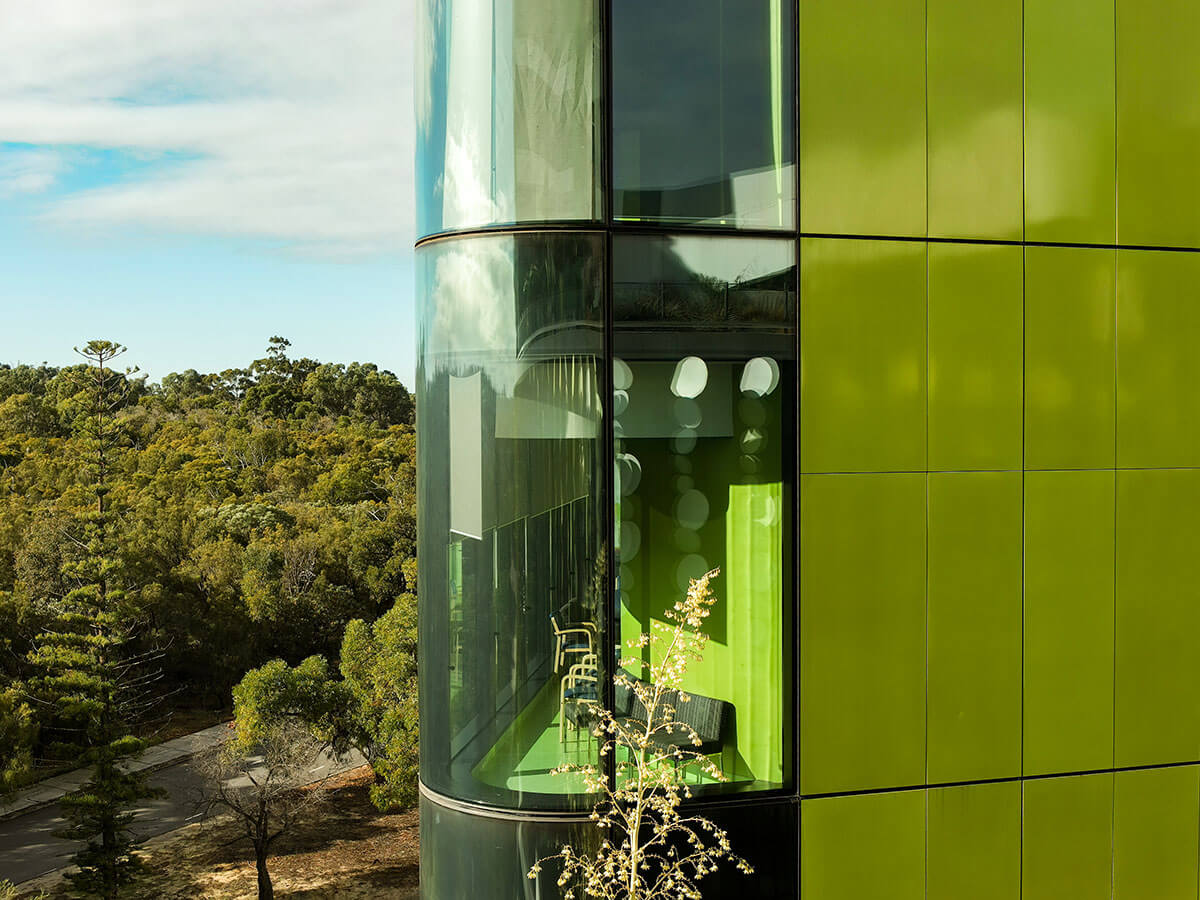
Get clear visuals and actionable insights for buildings and structures. Ideal for inspectors and facility managers working with complex access conditions.

Capture geo-referenced magnetic data using precise terrain-following flight paths. Suitable for mineral exploration, archaeology and geophysical surveys.
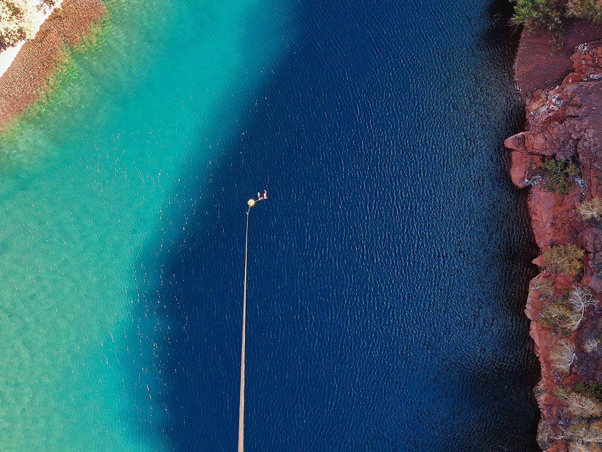
Collect multiple water samples remotely using a custom drone payload with controlled depth. Designed for remote sites, environmental monitoring and compliance.

Capture high-quality aerial visuals for tourism, media, PR and visualisation, with approval to operate in environments others can't.
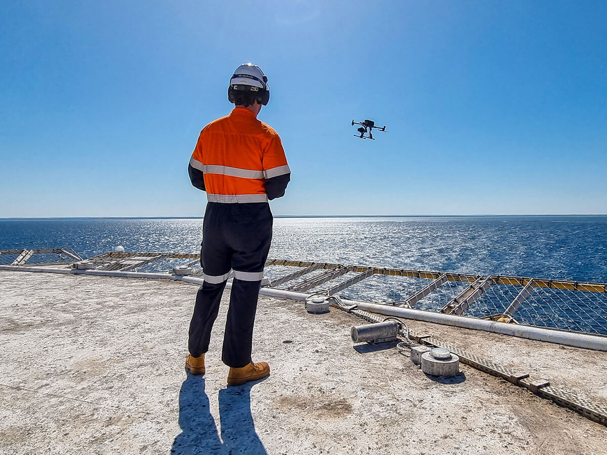
We provide 24/7 RPAS support for oil spill response, including aerial surveillance, slick mapping and environmental impact assessment.
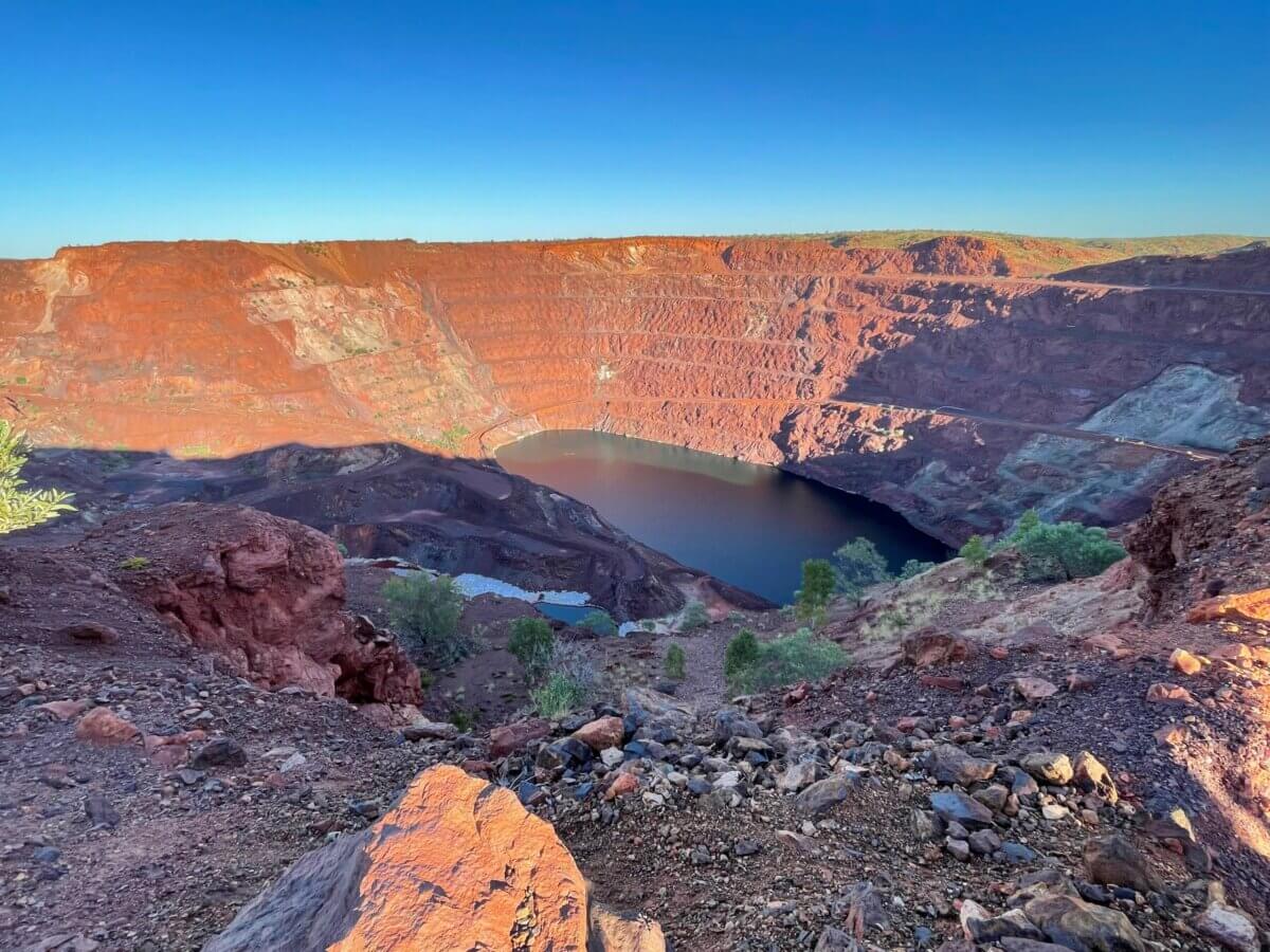
An environmental team working on decommissioned mine sites needed accurate water samples from deep pit lakes, across multiple depths and under challenging conditions.
RemSense developed a tailored solution within two weeks overcoming COVID-related supply chain delays. We engineered two key systems in-house:
• an active payload safety release device for emergency drop scenarios
• a remote winch and sensing system to control sampling depth in real time.
Paired with radar-based flight control, this enabled precise, repeatable water sampling without putting personnel at risk.
The result: a safer, more efficient operation delivering consistent, high-quality environmental data.



Talk to our team about how we can support your site with safe, accurate and efficient aerial data capture