About NV5 Geospatial


NV5 Geospatial is the geospatial pioneer pushing the boundaries of data and analytics to deliver actionable solutions to transform the way our clients utilize and value geospatial data. We lead the nation in providing end-to-end solutions and services to deliver the highest quality data and geographic insight solutions. We combine unmatched expertise and experience with the latest equipment tech and proprietary software to analyze all types of data. But we are so much more than what we measure.
NV5 Geospatial goes well beyond geospatial intelligence. We transform data into usable information tailored to meet your needs. Our experts carefully consider technology choices and survey design to optimize data quality, turning pixels and points into meaningful analytics based on the questions you want answered. It’s why the largest government and corporate organizations depend on our solutions to mitigate risk, plan for growth, better manage resources and advance scientific understanding. And because generating analytic solutions is all we do; you receive an unprecedented level of service and support on a national scale to ensure your toughest questions get answered. NV5 Geospatial. Beyond Measure.


Our Purpose
To be the leading global innovator and provider of actionable geospatial intelligence in order to enhance scientific understanding and advance insightful discoveries to responsibly manage our world.


Join the Team
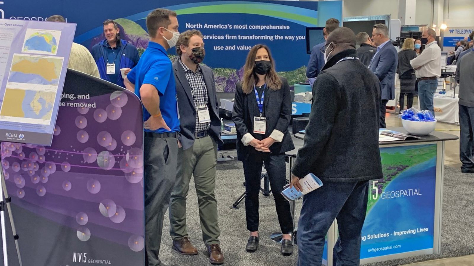
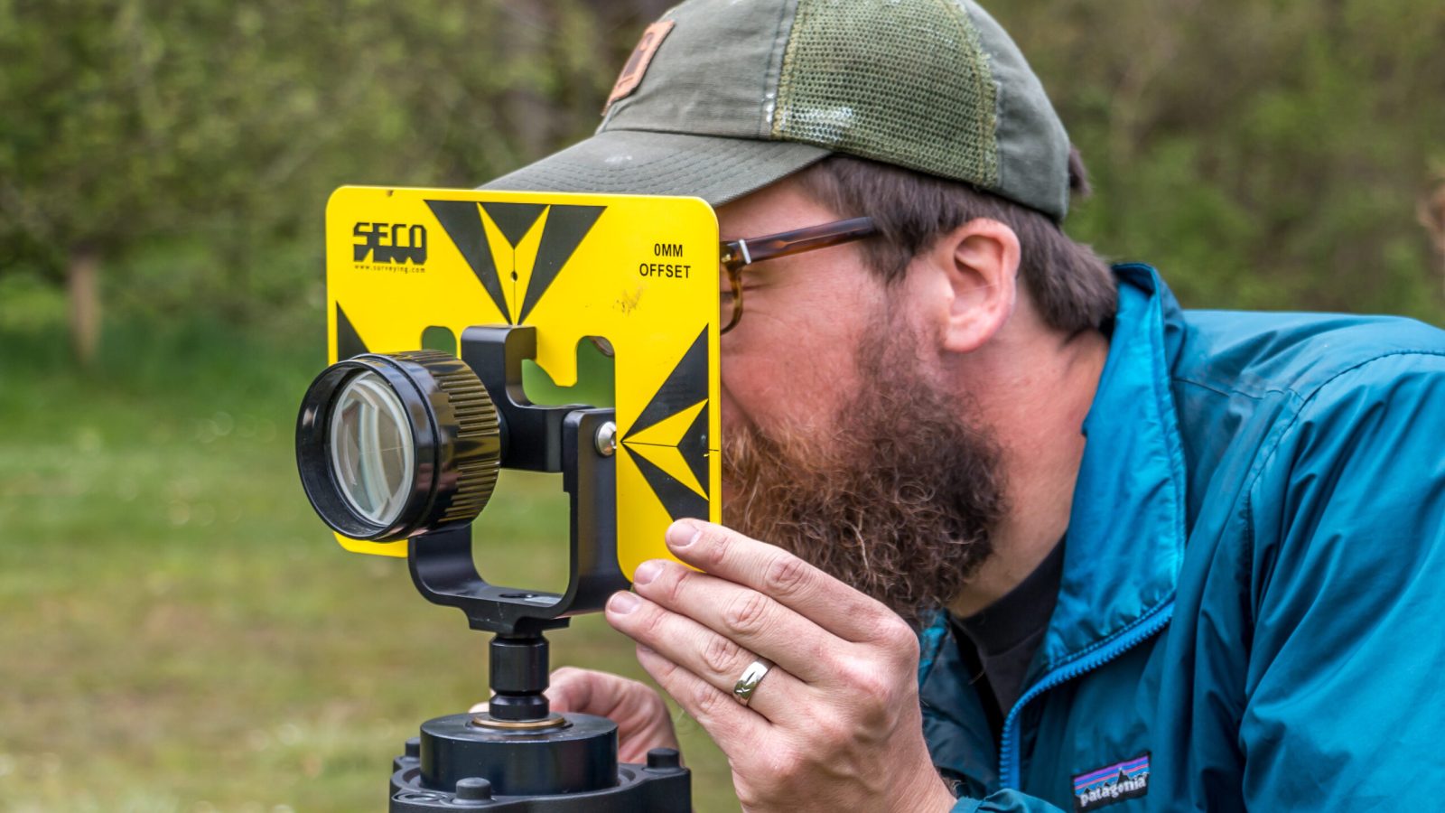
At NV5 Geospatial, it’s not a job, it’s a calling to an exciting career in geospatial science, developing solutions that offer insights into the world we live in with the best in the business. We aren’t the market leader in geospatial technologies and remote sensing because of our technology (although having a fleet of planes, boats, helicopters, and unmanned aircraft systems (UAS) deploying the latest software and sensor tech is cool). We lead because we are a cohesive team of innovative thinkers, problem solvers, thought leaders, and subject matter experts that are constantly looking for a better way of doing things.
NV5 Geospatial counts hundreds of talented scientists and specialists among our employee population – engineers, environmental scientists, data scientists, GIS professionals, marine biologists, geologists, geographers, surveyors, foresters, geodesists, project management professionals, commercial pilots, and ship captains. They come to work with NV5 Geospatial because the services we offer and the clients we serve are diverse, as is the geography we cover. They come because they want to work on the cutting edge of the industry, solving the most challenging and pressing problems of our age. They come because they believe in our purpose, and in turn, we support them in fulfilling theirs.
The opportunities available to you at NV5 Geospatial and NV5 are limitless. As a global firm, NV5 (#27 in ENR’s Top 100 Design Firms) operates in all 50 states, with over 100 offices around the world. You’ll have access to the best people and technology to drive your personal success while contributing to a scientific knowledge base that will shape the decisions of tomorrow.
At NV5 Geospatial, we encourage you to review our open positions for employment and join our team of professionals who are driven to change the industry and the world. If you don’t see an open position that fits your specific skill set or interests, don’t hesitate to reach out to us and send us your resume and information through the NV5 career page. We also encourage you to seek out internship opportunities with NV5 Geospatial. It’s never too early to start.
Who We Are
Lorem ipsum dolor sit amet, consectetur adipiscing elit. Ut elit tellus, luctus nec ullamcorper mattis, pulvinar dapibus leo.
Library
Library
Browse our catalogue of geospatial topics
Contract Vehicles
Contract Vehicles
View NV5 Geospatial contract vehicles